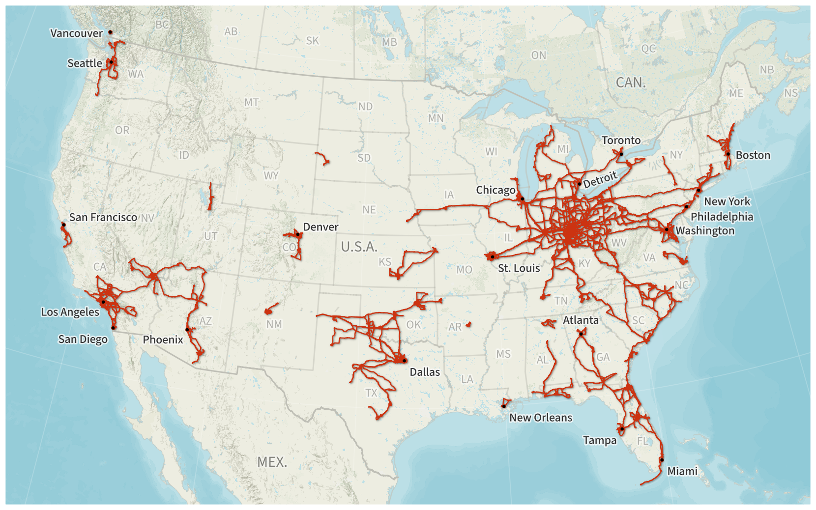
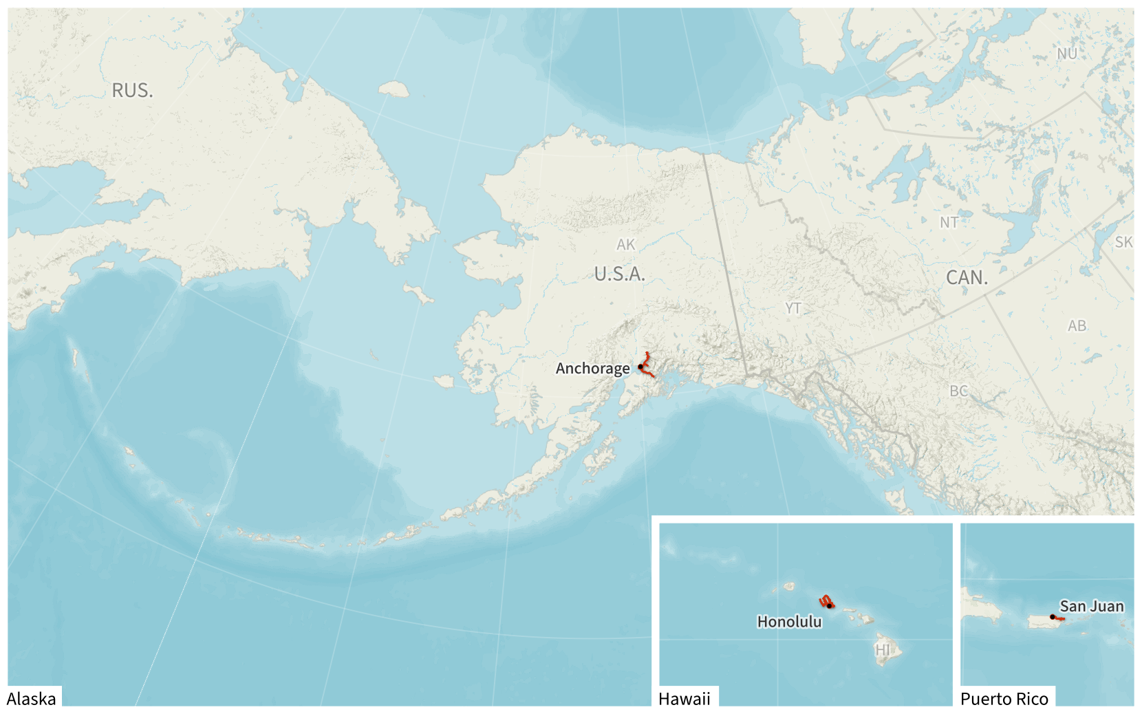
Since 2010, I’ve logged nearly all of my driving (both personal and rental cars) by downloading location data from GPS devices.

My Driving in the Contiguous United States, 2010–2025
basemap © Mapbox © OpenStreetMap (Improve this map)

My Driving in Alaska, Hawaii, and Puerto Rico, 2010–2025
basemap © Mapbox © OpenStreetMap (Improve this map)
My recent Year in Travel posts show annual driving maps.
Technical Details
I am currently on version 3.1 of my driving log.
Data Collection
My primary device for logging my driving is a Bad Elf GPS Pro+ GPS data logger. I’ve also historically used a number of Garmin automotive GPS devices from the DriveSmart and nüvi series. All of these data loggers can export data as GPX files.
Data Storage
My driving log is stored in a GeoPackage database file. All driving tracks are stored as described in the Canonical Driving Log section of the README file.
For archival purposes, I also keep folder of all of the original source GPX files that have been imported into my driving log.
Data Processing
I maintain a number of GPS data processing scripts in a GitHub repository at bogardpd/gps-log-tools. These scripts are primarily written in Python, and interaction with the GeoPackage driving log database file is done through the GeoPandas library.

Process flow for GeoPackage driving log with KMZ output
My two primary scripts are import_gpx.py (which imports one or more GPX files from a GPS data logger into my GeoPackage database file) and export_kmz.py (which exports the current driving log from the GeoPackage database into a KMZ file that I can open with Google Earth).
I also wrote a number of utility scripts for processing the idiosyncrasies of various GPS loggers; these are described in the README.
Resources
See my Mapping Resources page.


