uMap is a website which allows you to import GPX data and overlay it on an OpenStreetMap layer. This tutorial will teach you how to view GPX-formatted GPS data in uMap.
(If you don’t yet have any GPX files to view, follow one of my Recording and Extracting GPS Data to GPX tutorials.)
Table of Contents
Import the GPX file into uMap
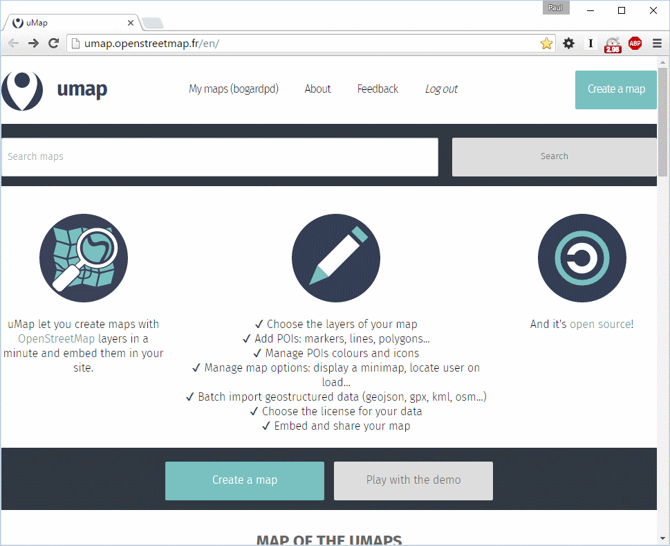
From the uMap home screen, click Create a map.
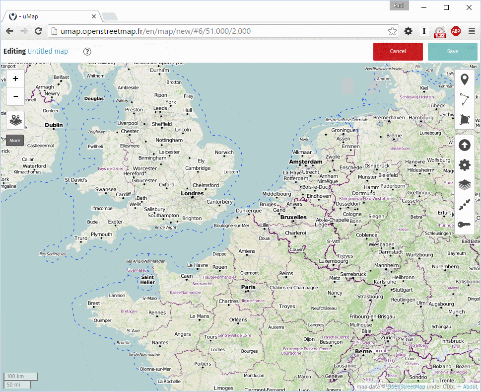
A blank map will appear. On the right side menu, click the Import Data button (upward arrow in circle). Browse to your GPX file and click import. (If you have multiple GPX files, repeat the import for each file.)
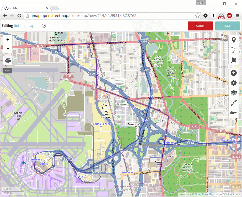
Your data is imported!
Change Map Layer Style
If you wish, you can stop here. However, I usually prefer to change the background map to something less busy. You can do that by clicking the Change Tilelayers button (stack of papers), third from the bottom on the right menu.
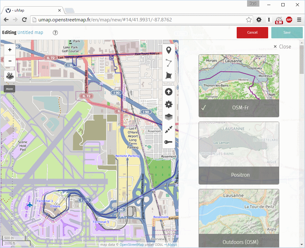
I usually use Positron, but you can choose any map style you want.
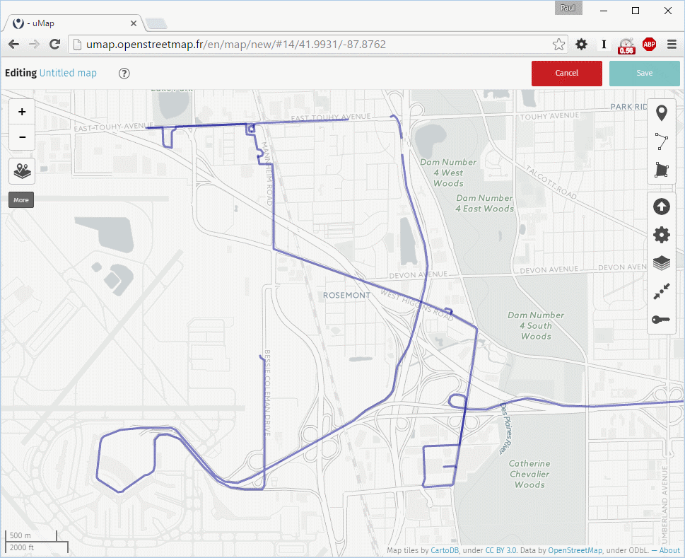
And that’s it! A clear map of your routes. Save or screenshot your map as you see fit.