Maps
I’ve always liked maps. I loved collecting the free maps from state welcome centers on childhood road trips, and I hand drew maps of my neighborhood based on bicycle surveys. Most of my doodles were highway interchanges.
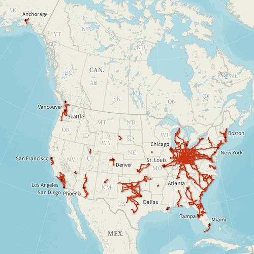
In 2010, I started logging my driving GPS data and creating maps of my flight history. The flight mapping eventually led to my Flight Historian, and I expanded my GPS logging to include walking, cycling, and anywhere else I could track GPS data.
I first played around with QGIS in 2017 when I needed to convert some OpenStreetMap data to SVG. In 2020, I picked QGIS back up and started learning it in depth.
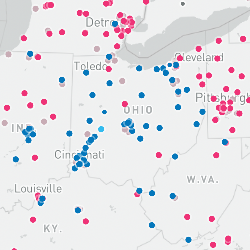
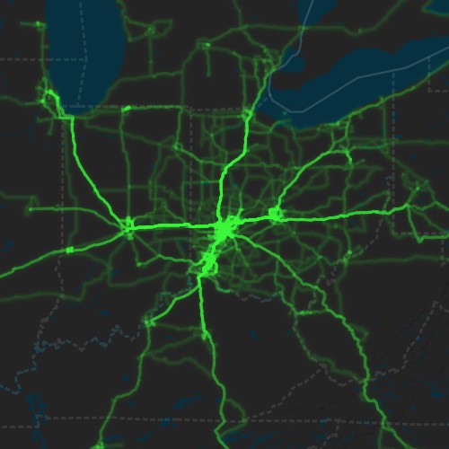
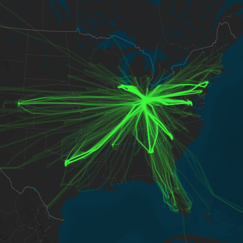
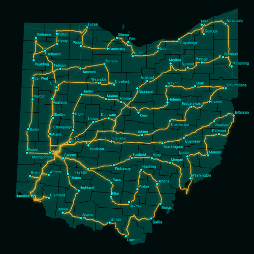
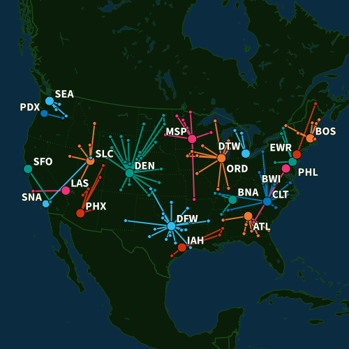
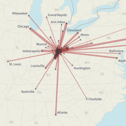
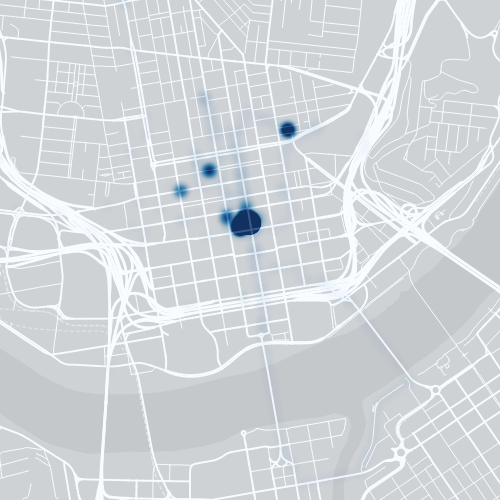
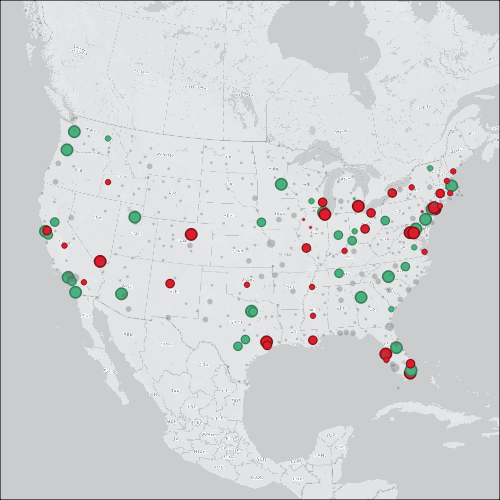
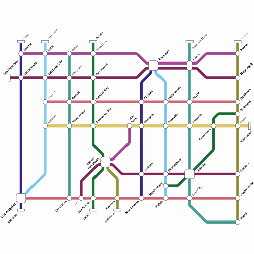
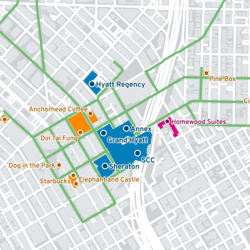
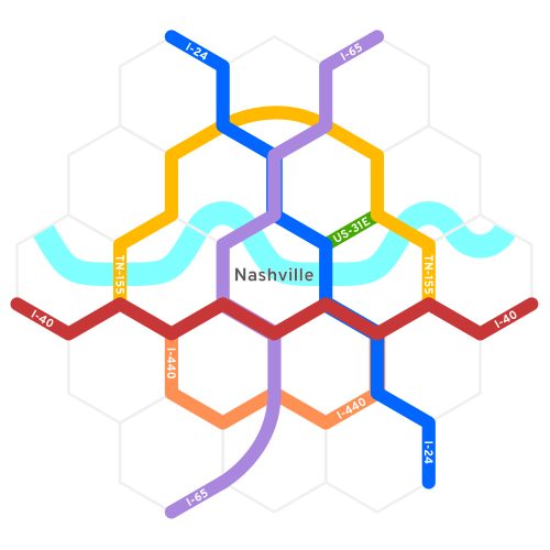
Gallery
Resources
See my Mapping Resources page.