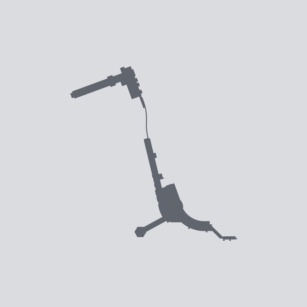
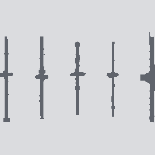
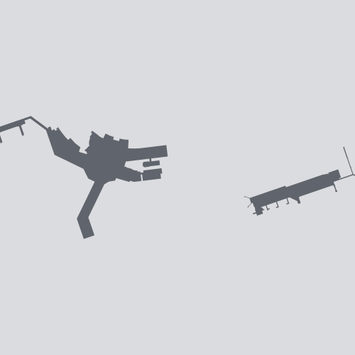
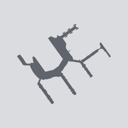
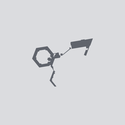
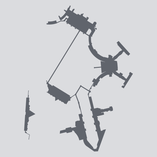
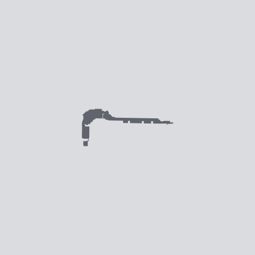
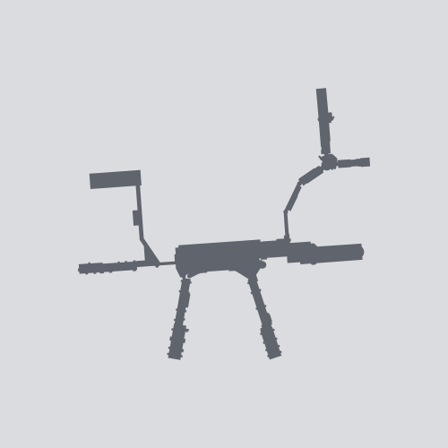
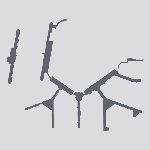
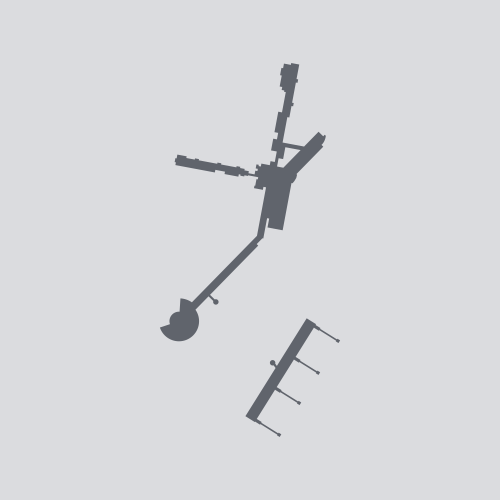
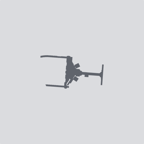
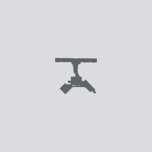
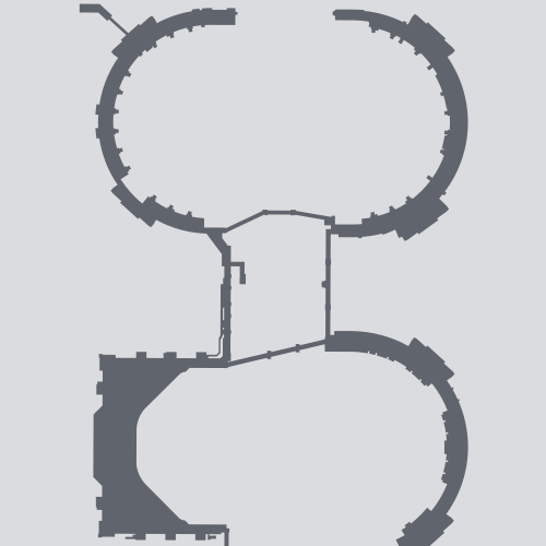
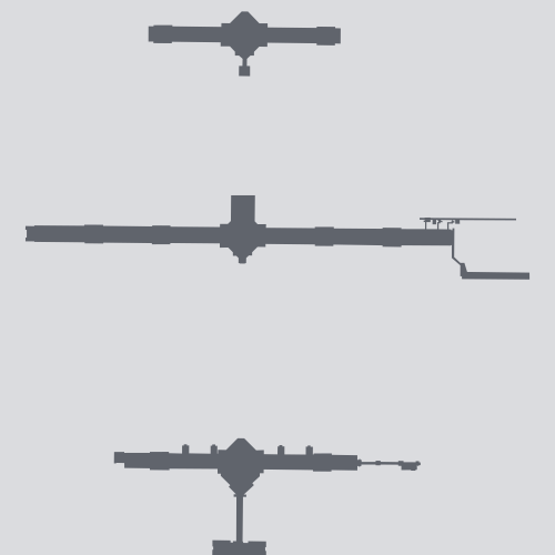
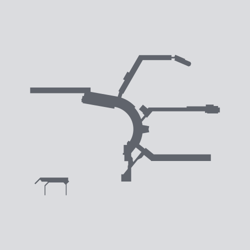
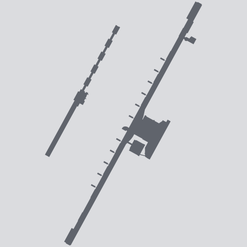
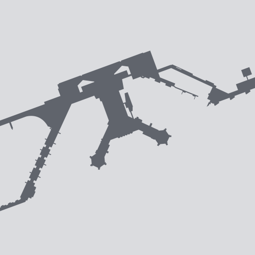
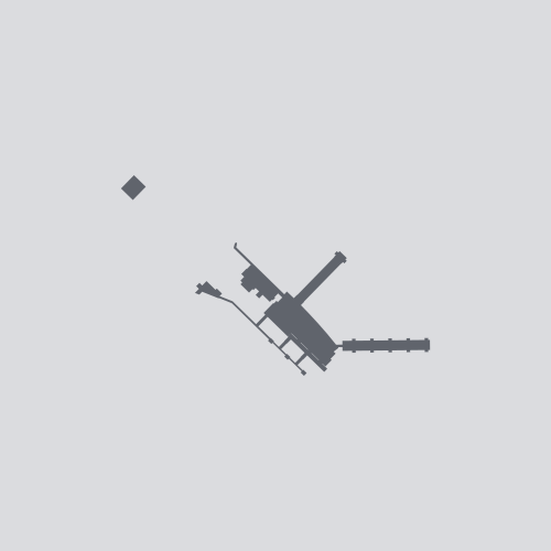
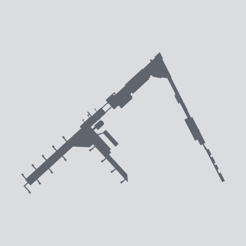
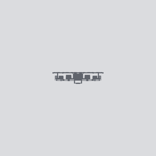
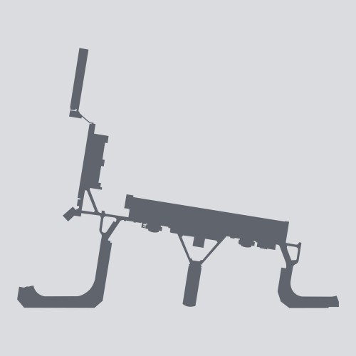
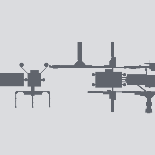
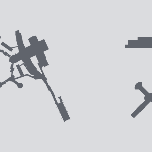
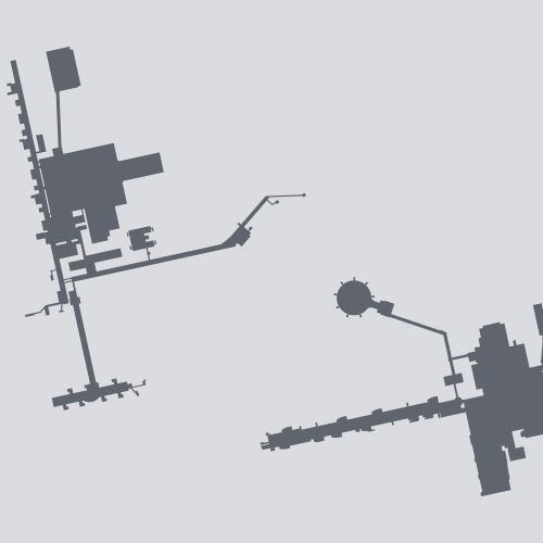
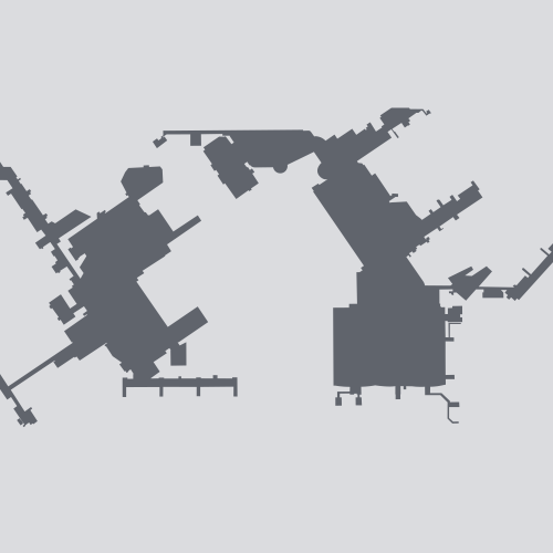
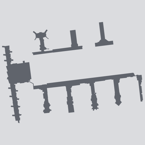
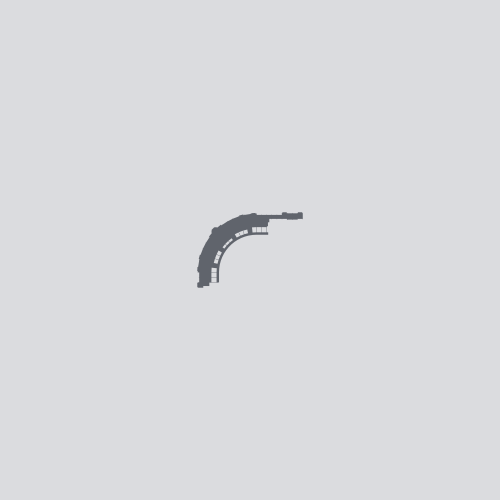
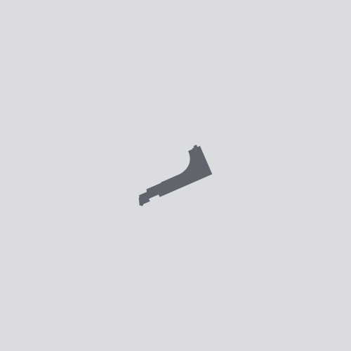
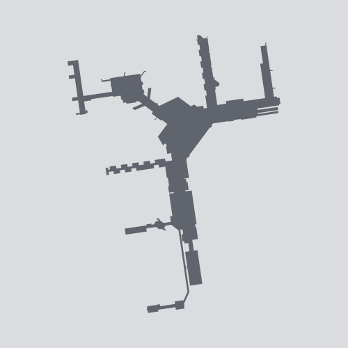
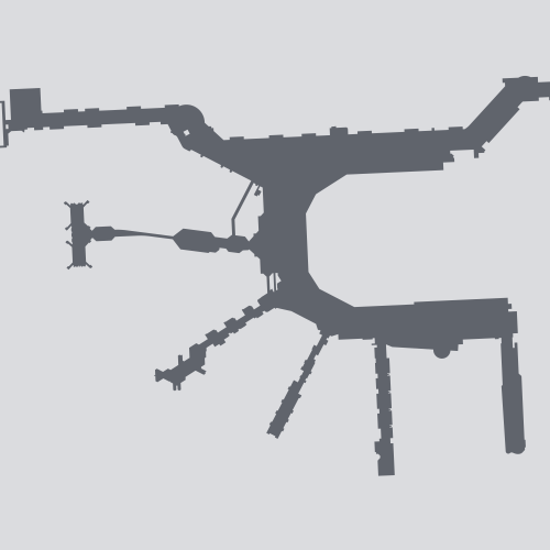
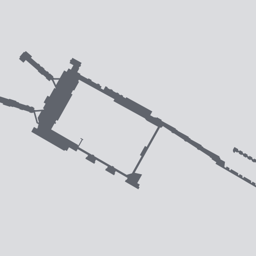
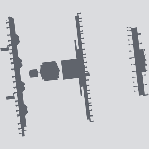
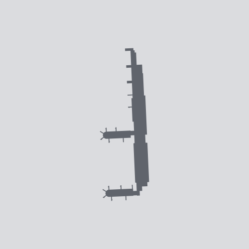
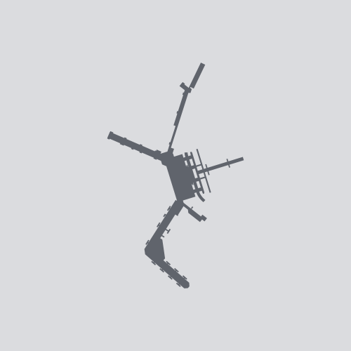
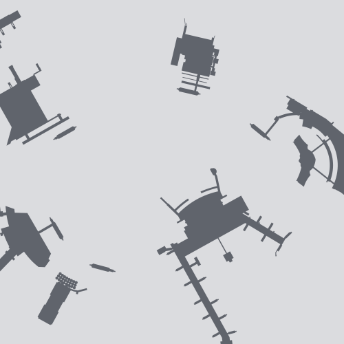
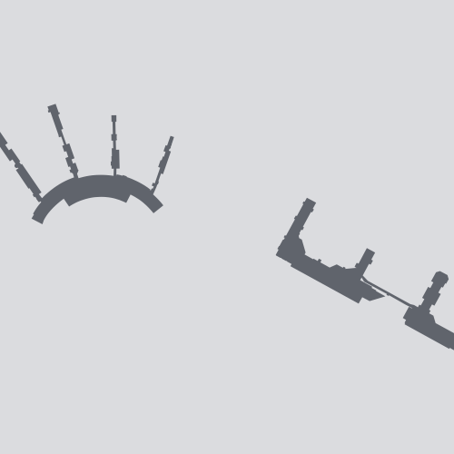
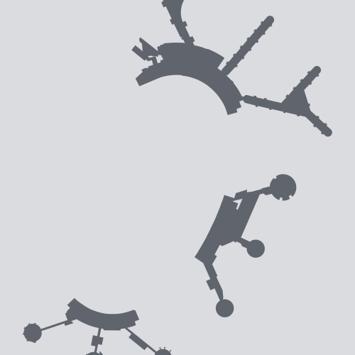
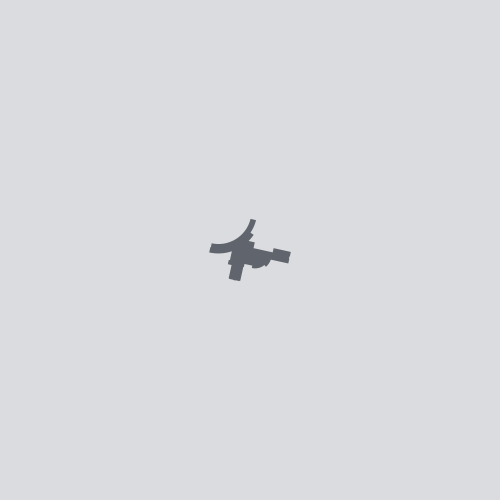
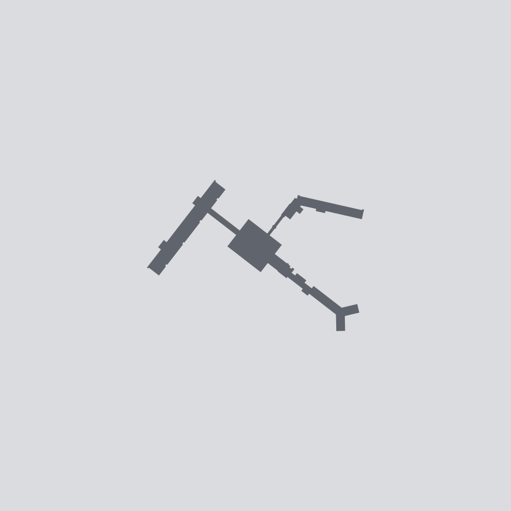
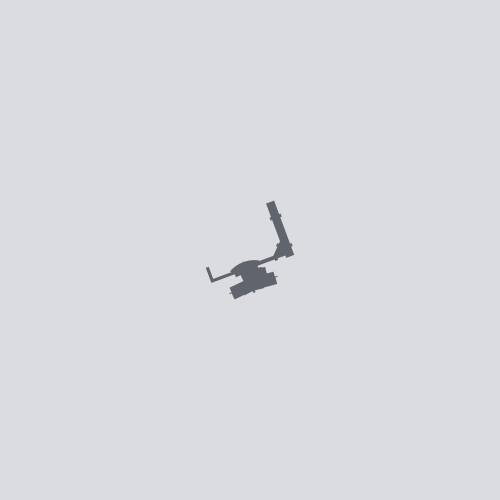
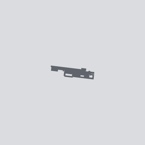
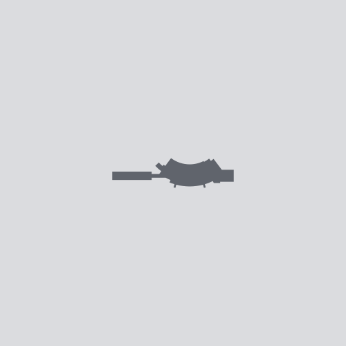
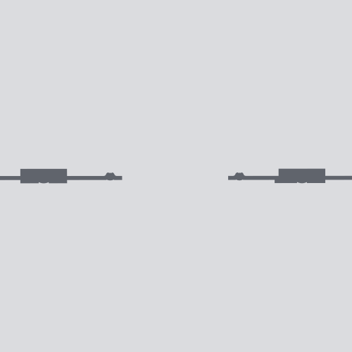
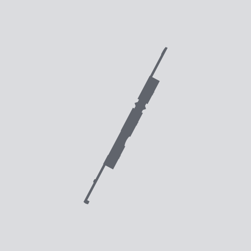
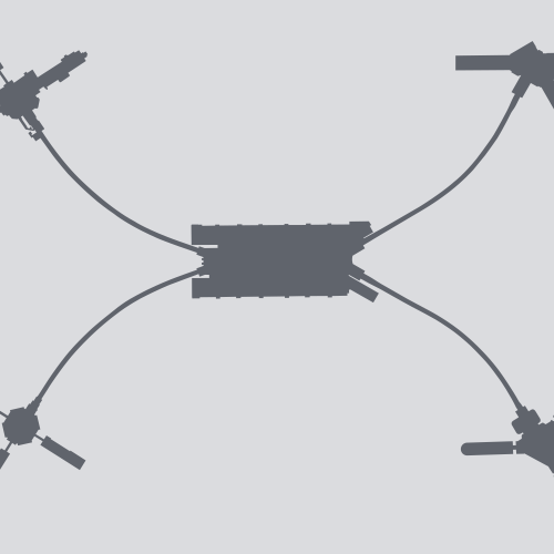
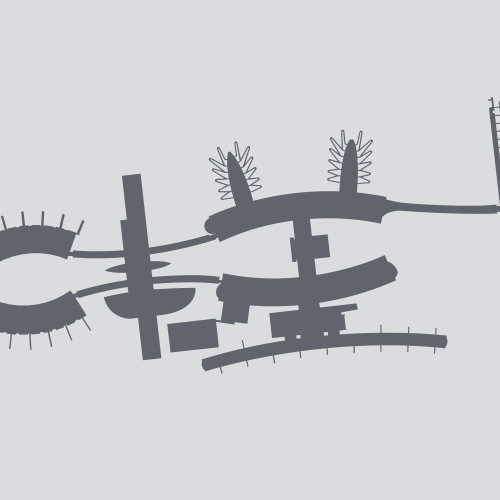
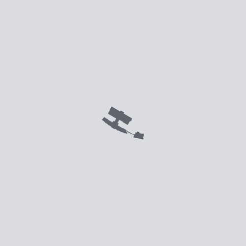
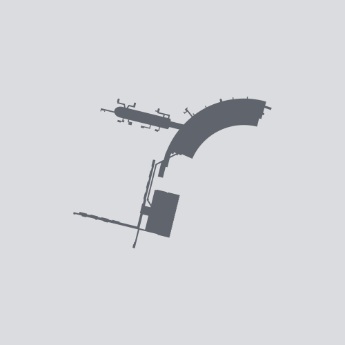
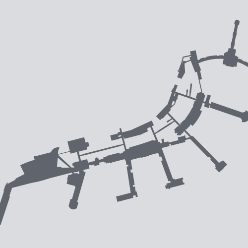
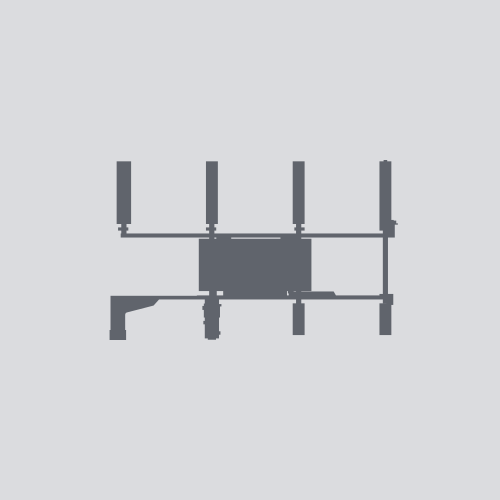
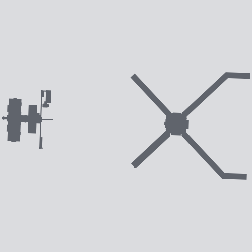
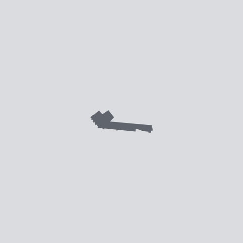
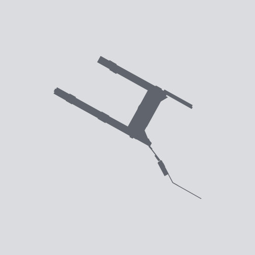
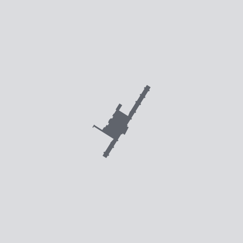
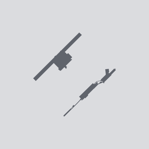
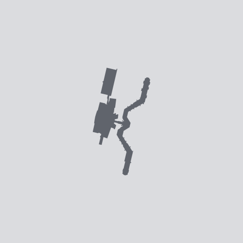
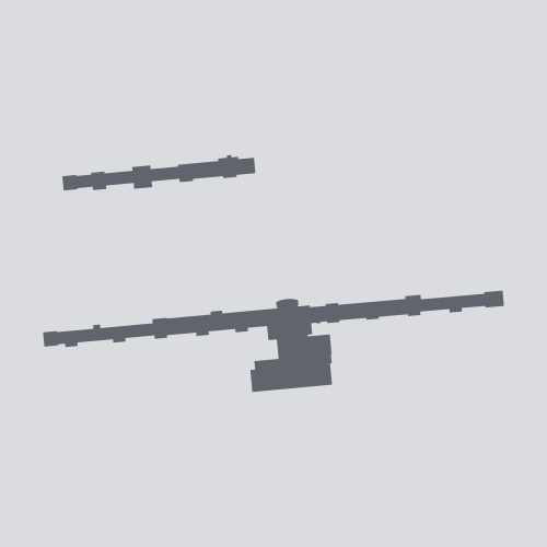
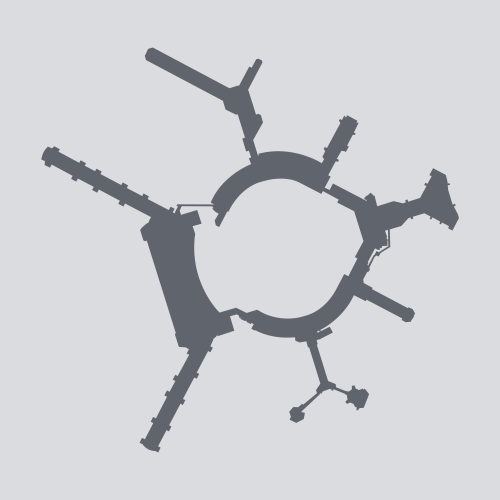
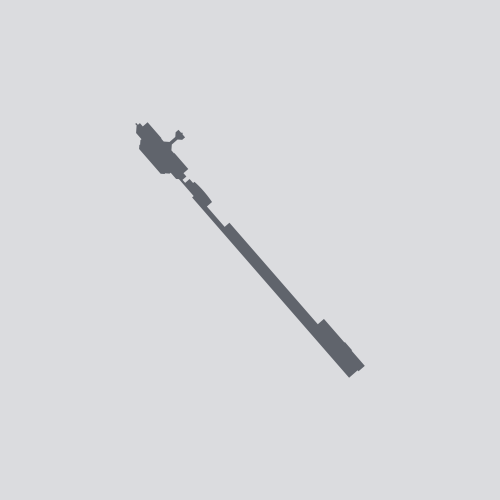
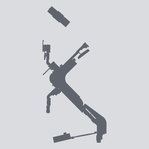
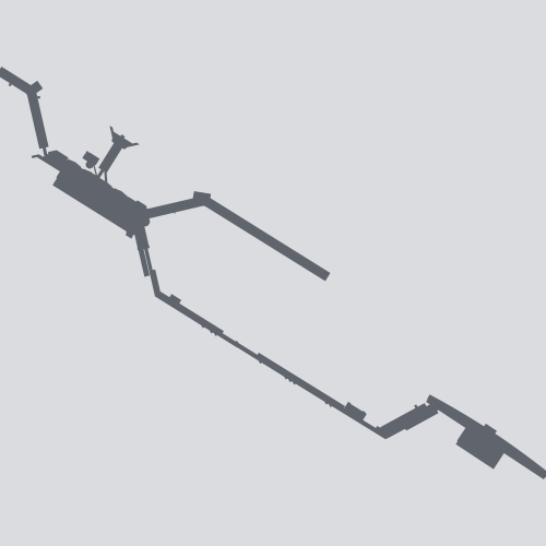
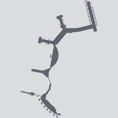
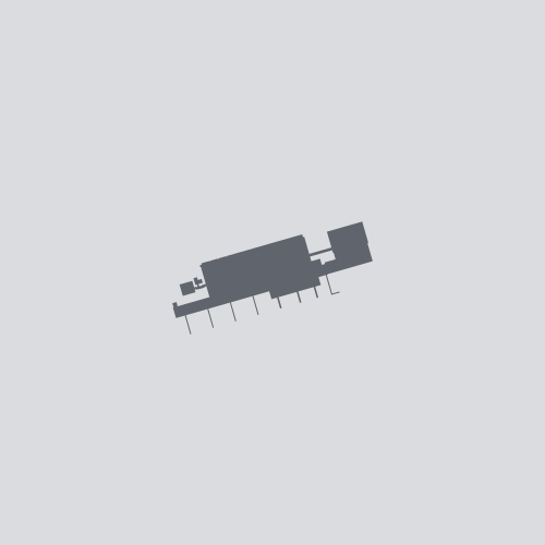
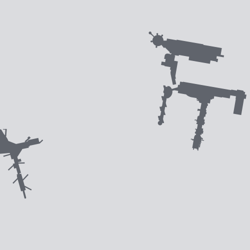
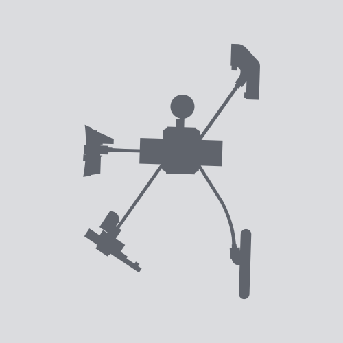
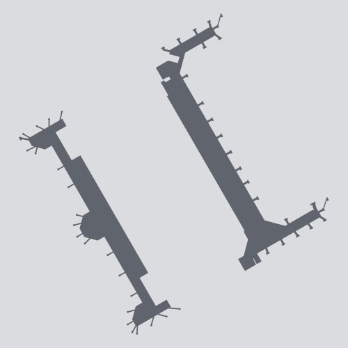
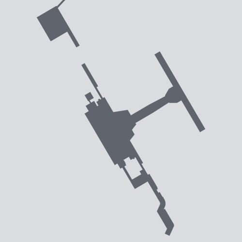
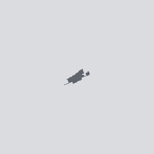
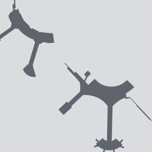
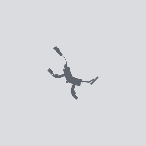
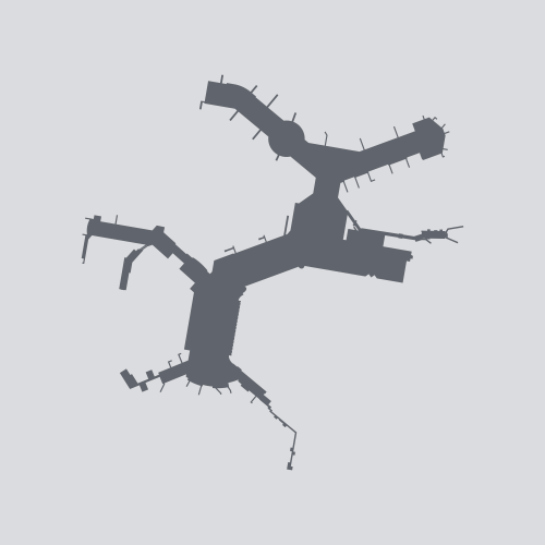
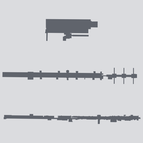
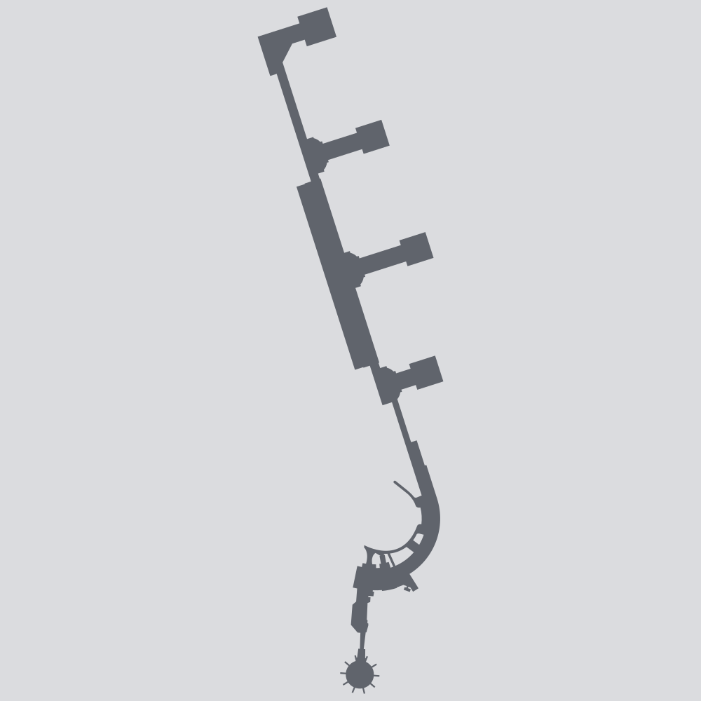
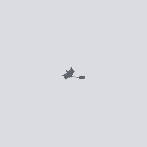
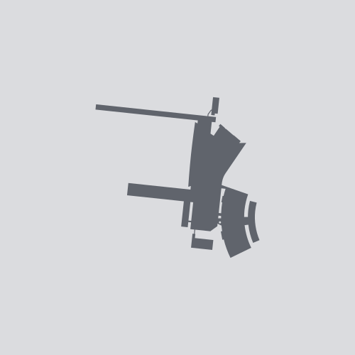
I’ve created vector art silhouettes of the terminals and concourses of airports I’ve visited.
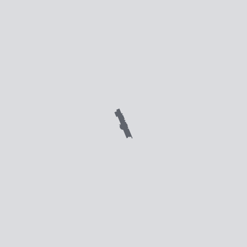
In each full-size image (SVG at default scale, or PNG), one pixel equals one meter. (The thumbnails each show a square 1.33 km or 0.83 miles on each side.) True north is always up.
Gallery

ABI

AEY

ABQ

AMA
ANC
ATL
AKL

AUS

BFL
BWI
TXL

BHM
BOS
BUR

CHS
CLT

MDW
ORD

CHC
CVG
CLE
COS
CMH
DAL
DFW

DAY
DEN
DEN

DSM

VPS
DTW

DUD

FAY
FLG
FLL
FRA
BDL
HEL
ITO
HNL
IAH

HSV

IND

JAX

OAJ
MCI
GRK
LAS
LAW

LIT
LGW
LHR
LAX
LBB
MHT
MEL
MIA

MKE
MSP
MUC

MYR
OKA
BNA

MSY
JFK
LGA
EWR
PHF
ORF
XNA
NUE
OKC
ONT
SNA
MCO
CDG

PNS
PIA
PER
PHL
PHX
PIT
PWM
PDX
PVD
RDU
RAP
RKV

KEF
RIC
SLC

SAT

SAN
SFO
SJC

SJU

SAV
SEA
STL
ARN
STR
SYD

TLH
TPA
HND
NRT
TOL
YYZ
TUS

TUL

VLD
YVR
IAD
DCA

ICT

SPS

AVP
ILM
ZRH
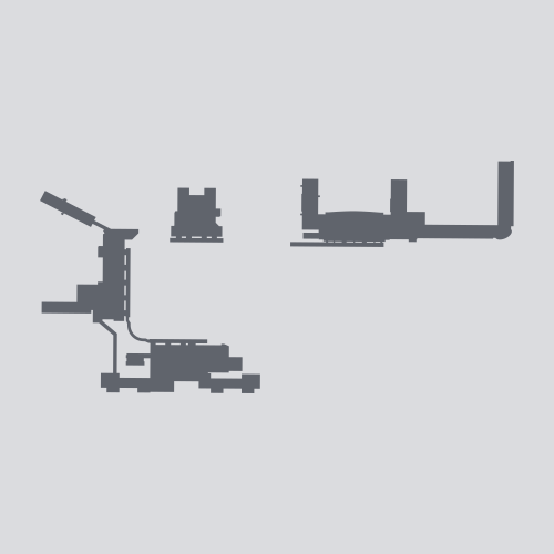
I’ve also drawn silhouettes of some other buildings.
Technical Details


I draw these silhouettes as SVG vector images with Inkscape, an open source vector graphics editor.


My primary references are Google Earth and Bing Maps satellite imagery, supplemented by other satellite imagery, terminal maps on airport websites, airport photos and videos, and my own memory of each airport.
Paul Bogard created these terminal silhouette illustrations, and has made them available for use under a CC BY-SA 4.0 License.